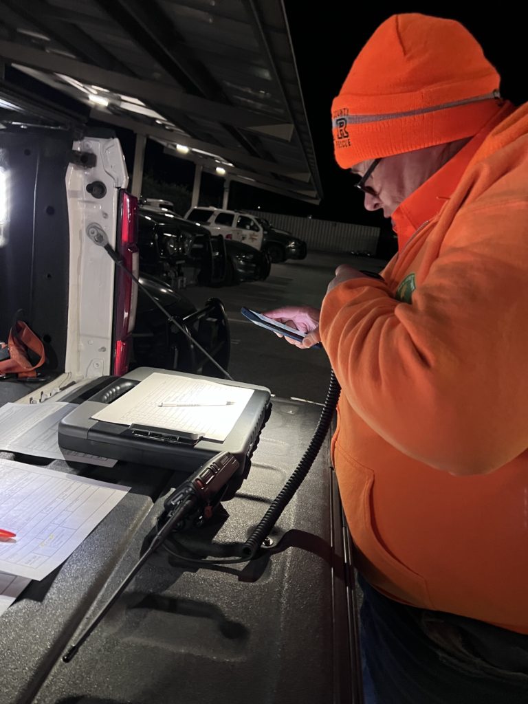
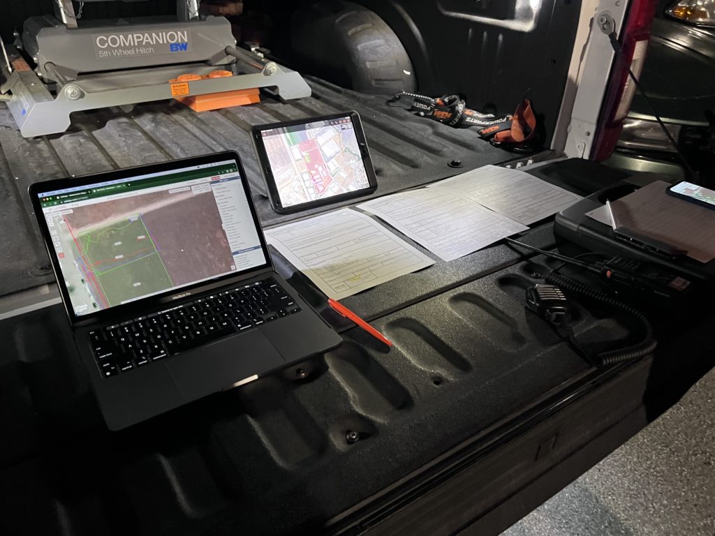
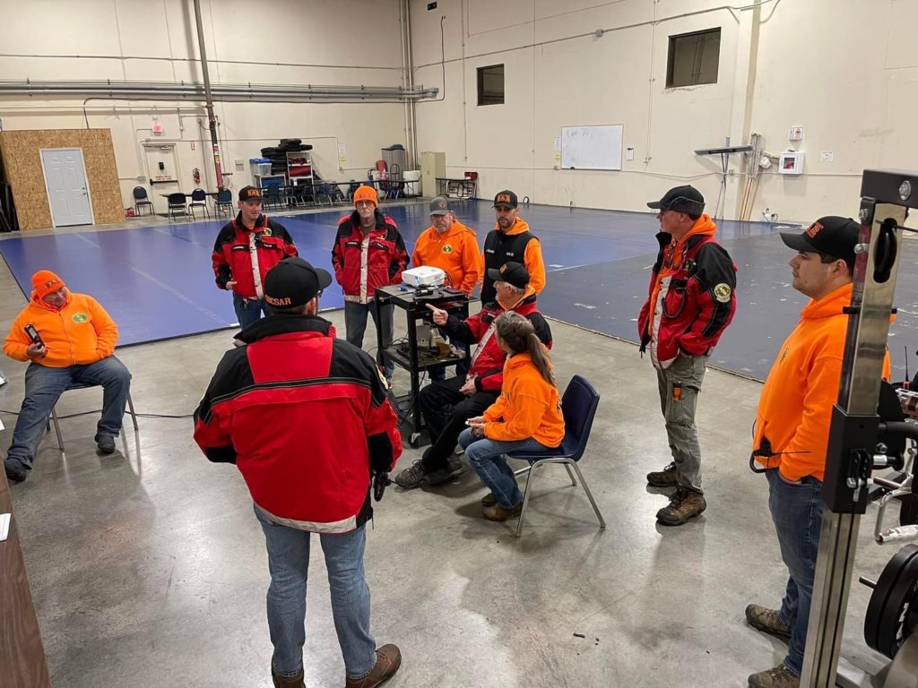
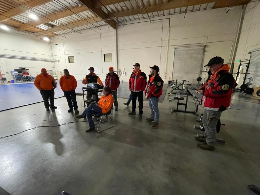
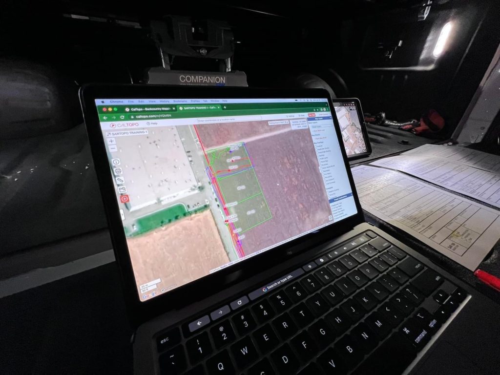
Members of SAR trained on the use of SARTOPO
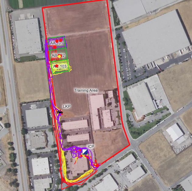
SARTOPO is a mapping tool used by Search & Rescue that allows team members to track their location, plot points, give routes/grid coordinates and more. It can be used by multiple users at once to be able to work as a team, also allowing an incident commander to have an overview picture of the situation.
Goal: Prepare field team members to respond to a mission using SARTopo for navigation and track recording.
OBJECTIVES
- Open a team map in the mobile app
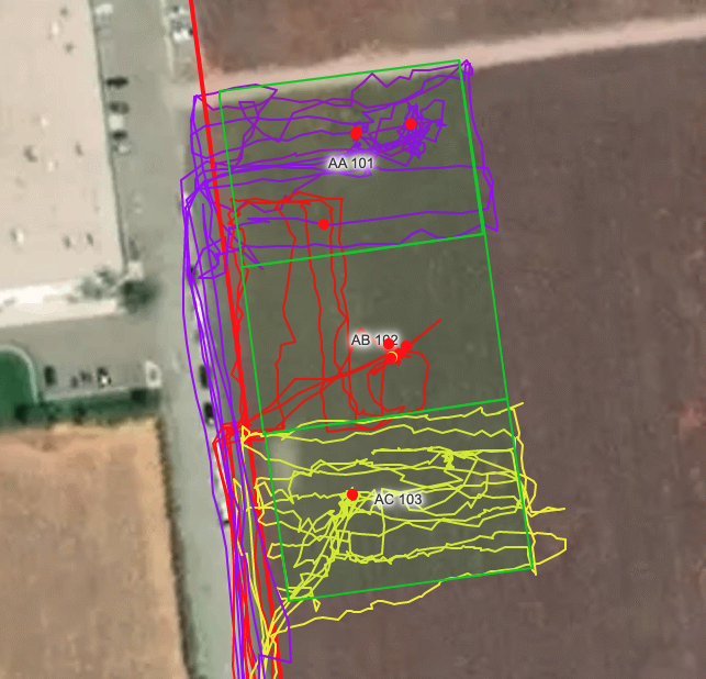
- Record Tracks
- Turn on and off location sharing settings
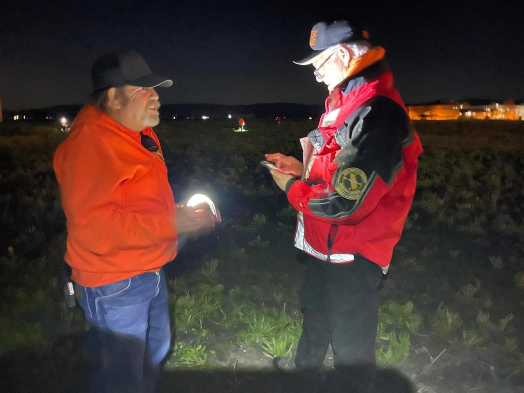
- Locate an assigned search area
- Enter given coordinates, add marker and navigate to it
OTHER SKILLS
- Working with team assignments
- Lite radio use: Status updates to command / communicating coordinates
- Grid search of small area assignment